Friday April 29, 2022

In today’s Flashback Friday, we explore the messier side of being a fisheries biologist.
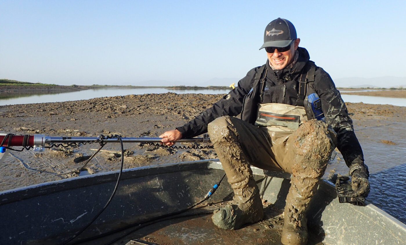
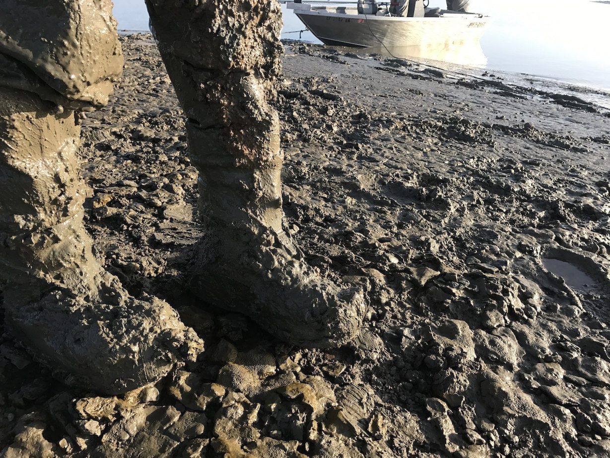
As anyone who’s worked in tidal mudflats knows, even the simplest tasks – like walking – can become surprisingly difficult in muddy terrain. While our biologists are more than comfortable navigating over slippery rocks and swift currents, the intertidal zone of the San Francisco Bay presents an entirely different challenge. Fortunately, as FISHBIO often does, we were able to rely on technology to minimize the extent of our groveling in mud. We brought the ARIS sonar camera to a recently restored wetland in the San Pablo Bay to examine how the fish community has colonized this relatively new habitat. Project developers incorporated a number of unique designs into the restoration project, such as root wads and marsh mounds, to increase the amount of sediment deposited in the bay. They were eager to see if these components were providing desirable habitat for the fish community, and post-project monitoring included traditional beach seine and otter trawl surveys at the site, along with the ARIS sonar camera.

Fortunately for our crews, the ARIS can be operated remotely from the comfort of a boat. However, it still needed to be set and retrieved from the various habitats found in the restored marshland, which meant wading through knee-deep mud and balancing on one slippery boat deck. While the experience might have convinced our staff that the mudflats couldn’t possibly get any deeper, sediment is actually still accumulating in most areas of the Bay. Decades of intensive farming have lowered the land’s elevation to many feet below sea level. It will still take many years before the wetland area is restored to the proper elevation and the natural vegetation is established. We should consider ourselves lucky that we were able to survey this area before more sediment moves in. When it comes to marsh restoration, a sticky mess is a sign of success.
