Wednesday May 2, 2018

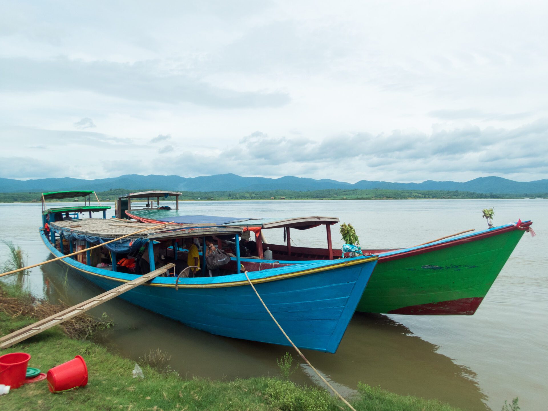
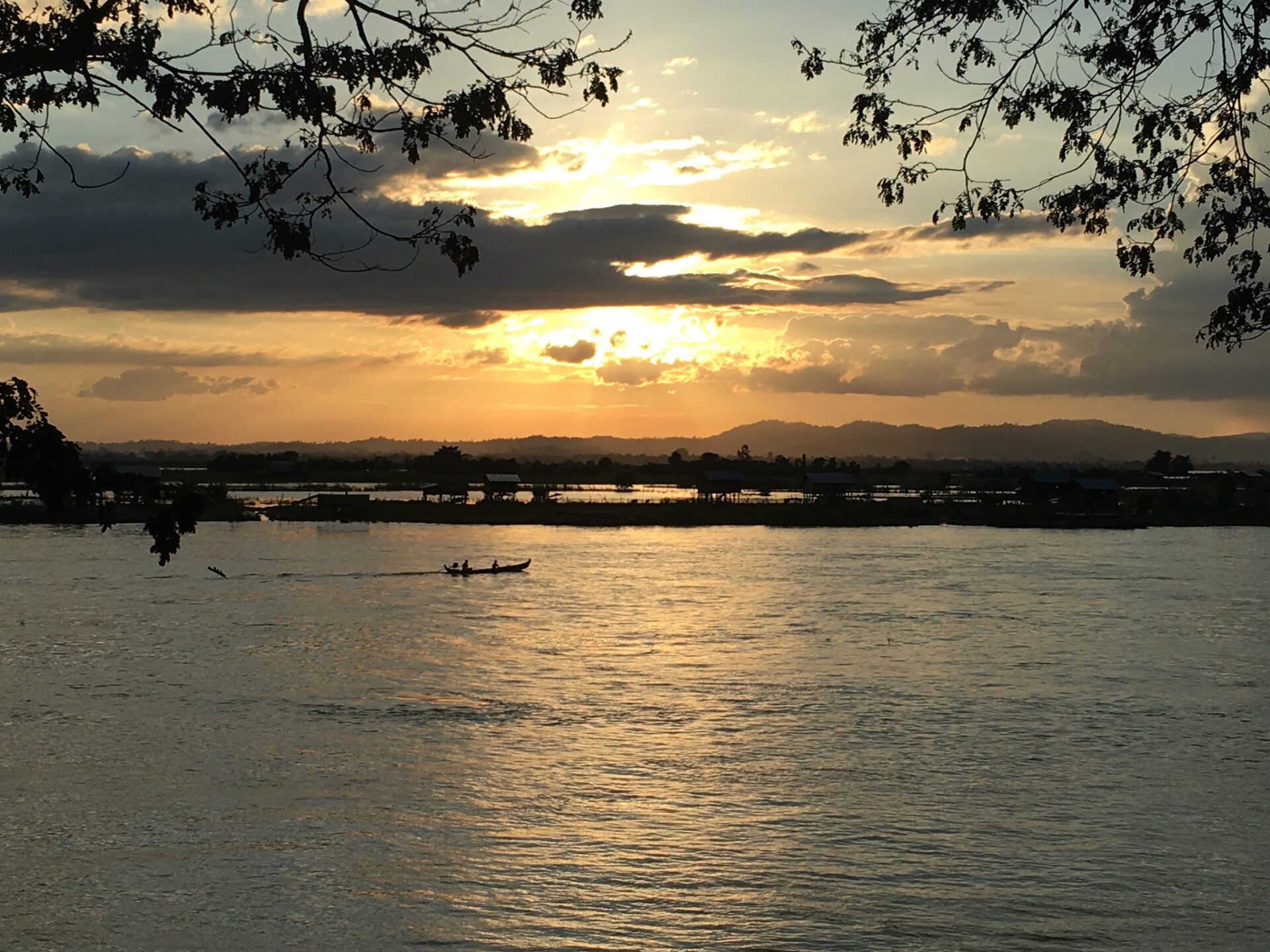
Working in Southeast Asia is usually an adventure, and we have previously conducted field work in some pretty remote areas (See Myanmar’s Mountain Fishes and Off the Beaten Path). However, as a general rule, it’s usually not good when you are told to hide on a survey while traveling through a known conflict area, which happened to one of our staff while conducting a survey of the Ayeyarwady (Irrawaddy) River in Myanmar. The Ayeyarwady River flows for over 1,335 miles through the heart of Myanmar and is one of the largest rivers in Southeast Asia. In 2017, we traveled by boat from the town of Myitkina near the headwaters of the river (the confluence of the N’mai and Mali Rivers), to the city of Mandalay, a journey of more than 350 miles.
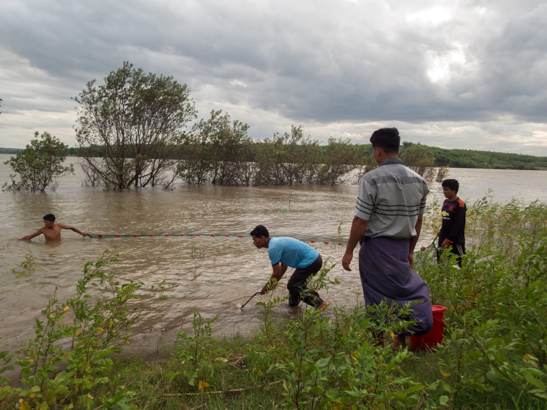
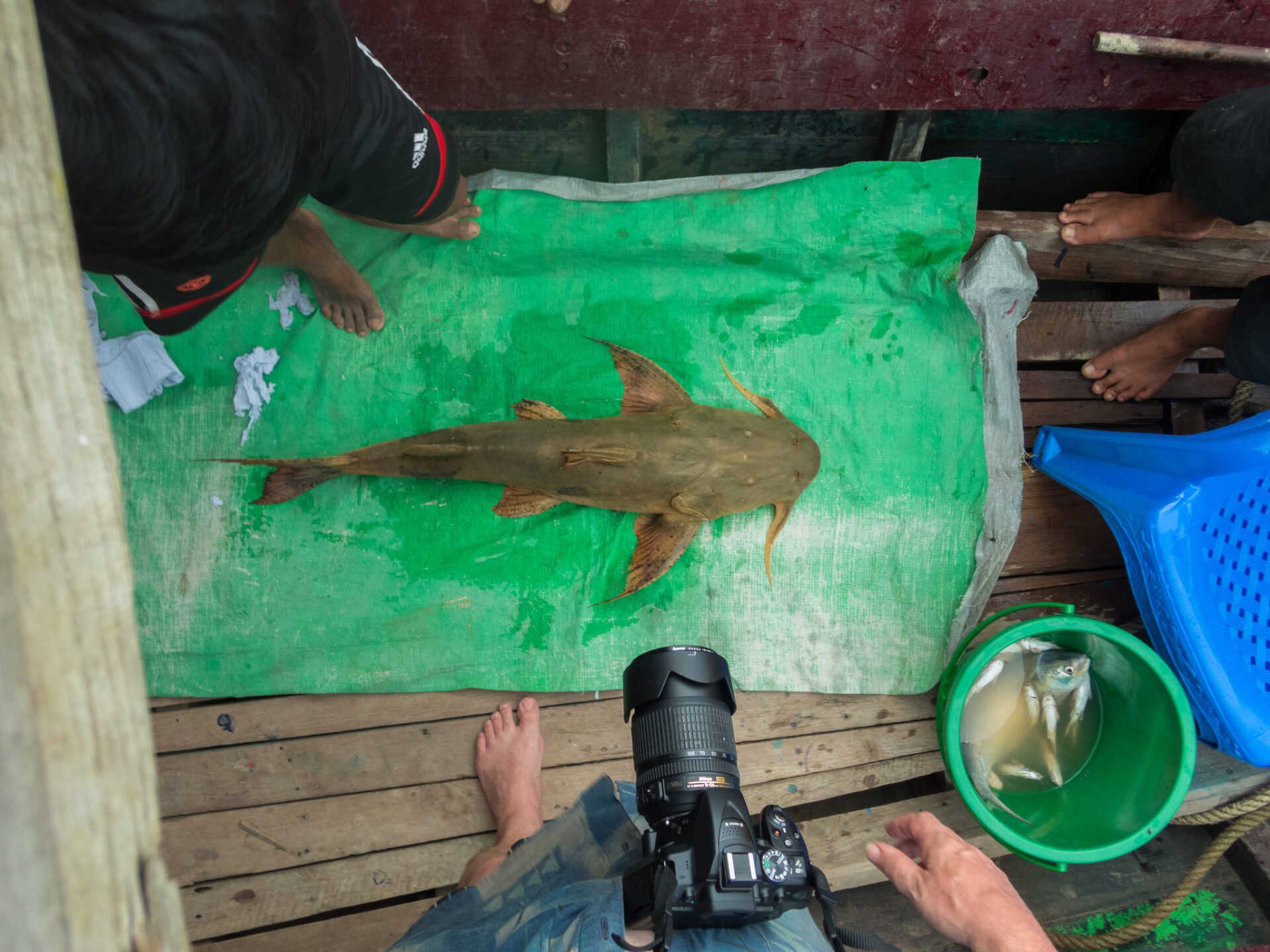
Over a few weeks at the beginning of the rainy season, we worked as part of a team to conduct surveys that included fisheries sampling, habitat assessments and interviews with local villagers along the main river and flooded areas. We used seine nets to sample fishes in a variety of habitats, including the mainstem of the Ayeyarwady River, tributaries, and seasonal wetlands. In addition, researchers surveyed local markets in towns and villages along the river to look for rare species that were not observed during sampling. More than 100 different fish species were captured overall (including several species that may be new to science), which will contribute substantially to existing records of fish species in the basin. Despite the local political situation, we managed to complete the surveys without issue and gather invaluable data on the freshwater habitat and fish community of the Ayeyarwady River.

These surveys were conducted as part of the Ayeyarwady Integrated River Basin Management Project. Funded with a $100 million credit from the World Bank, this project aims to develop the institutions and tools needed to make informed decisions about the management of the Ayeyarwady River. Our biologist was tasked with working on a project component called the State of the Basin Assessment, which was designed to establish background information on the current environmental, social, and economic conditions in the basin. Working along with our project partners, including Fauna and Flora International and WorldFish, we developed the biodiversity and fisheries portion of the State of the Basin Assessment. This included statuses and trends of the terrestrial and aquatic systems, hotspots, and an inventory of habitats, species, and fisheries resources of the Ayeyarwady River Basin. The report also included indicators that can be used to assess the health of the river system, such as trends in key bird or fish populations. Other sections of the report included surface water resources, groundwater and data management, sediments and geomorphology, socioeconomics, and participatory mapping and local consultation.

The report is especially timely given recent political changes in Myanmar and is critical considering the planned development in the Ayeyarwady River basin. Despite immense pushback, the government still has plans for considerable development in the region, including hydropower and resource extraction. This is the cause for much concern, and the State of the Basin Assessment report will hopefully provide a valuable baseline against which future development activities can be assessed and monitored. Expected to be published in December 2018, the report will hopefully be a valuable step in protecting the natural resources of this ecologically and culturally rich country. See more photos of the trip on Flickr.

