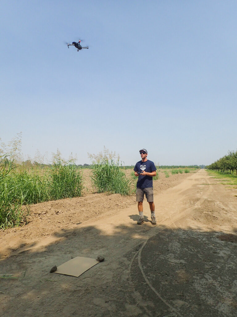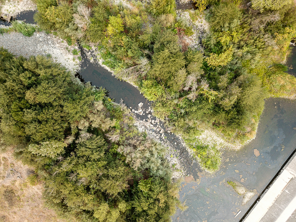
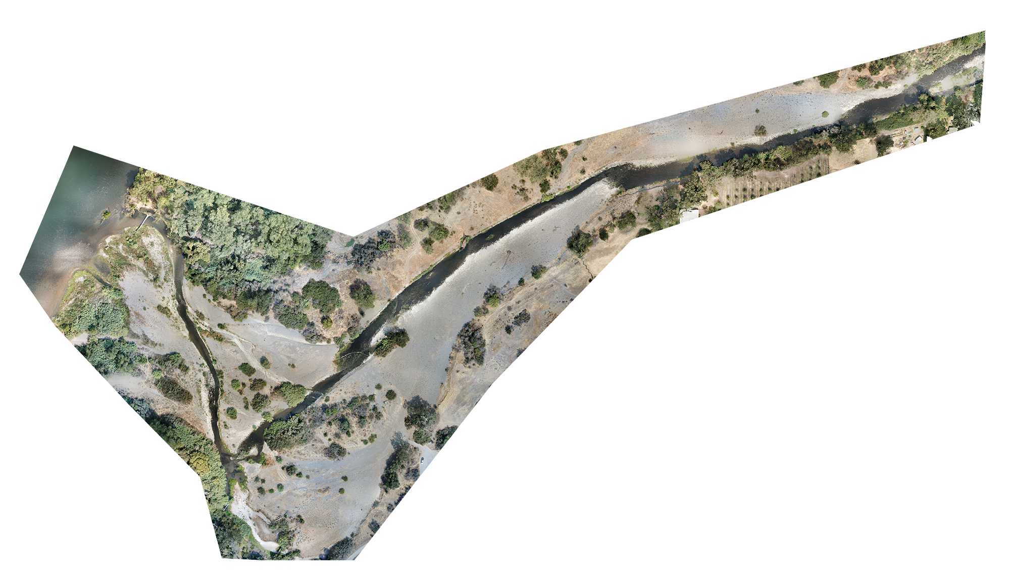
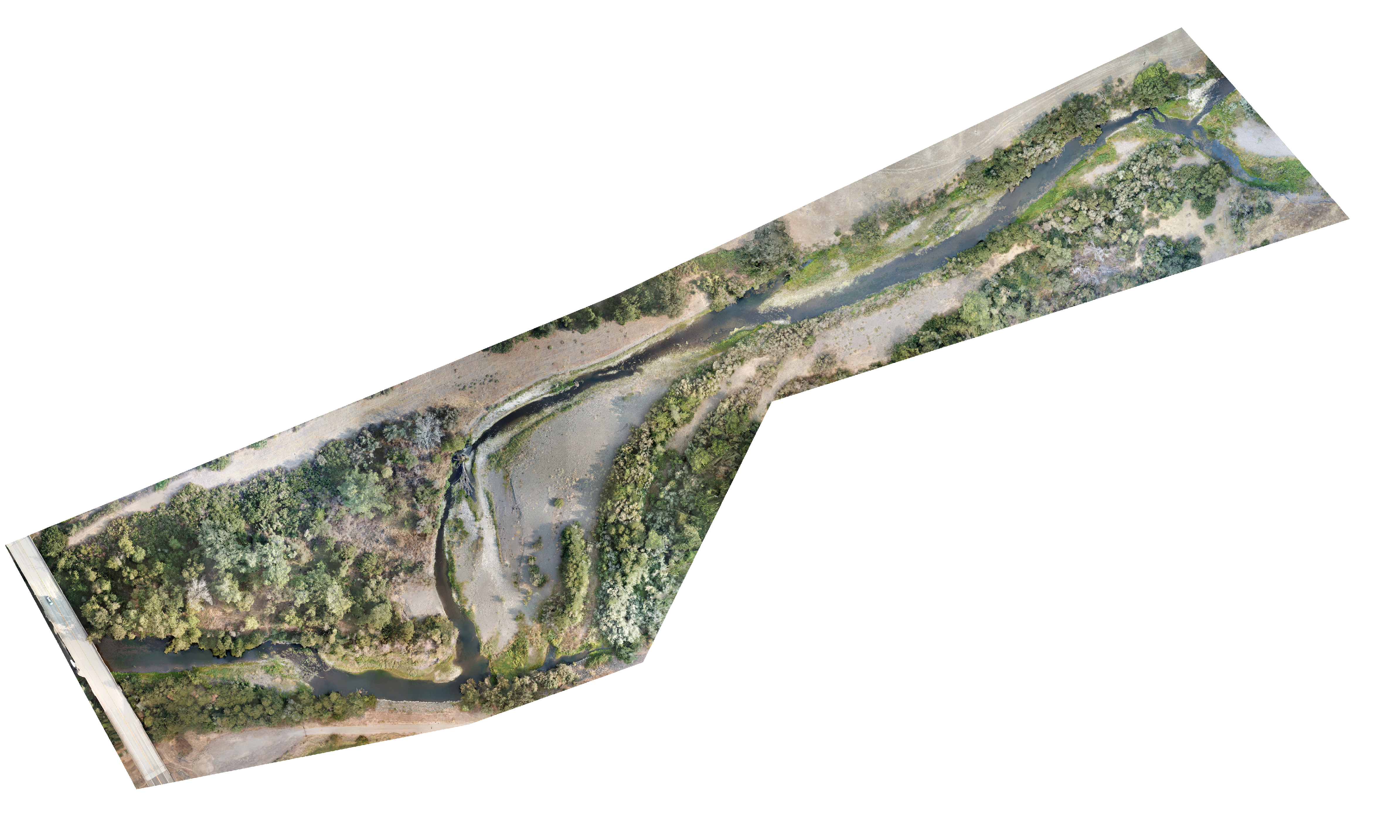
Aerial mapping using drone imaging technology is a rapid and cost-effective method that can be used to survey, document, categorize, and measure large reaches of rivers or creeks. In 2021, FISHBIO used drone mapping technology to survey the lower reaches of Deer and Mill creeks, tributaries to the Sacramento River that are home to threatened spring-run Chinook salmon. Our FAA-certified drone pilots determined flying grid patterns at calibrated elevations to capture overlapping imagery. This drone imagery was then used to create high resolution, georeferenced orthomosaic aerial maps that were used to identify, measure, and quantify habitat features and physical characteristics of interest, such as migration barriers, the presence of woody debris, and the area and elevation of particular habitat types.
On-site drone operation is frequently accompanied by the collection of supplementary data, such as water quality parameters, to permit a comprehensive evaluation of habitat characteristics across a broad geographic scale. Other applications of drone photography and videography include mapping of floodplain habitats, collection of topography data for potential river restoration sites, and surveys of salmon and trout redds in hard-to-access locations.